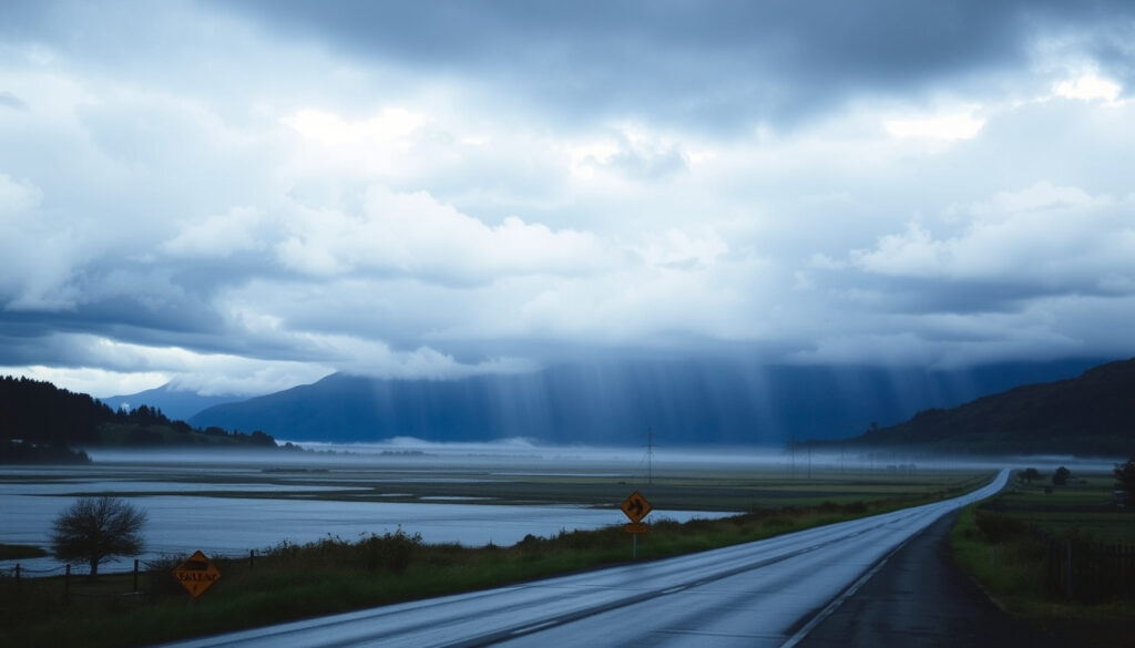
South Island Heavy Rain Warning: Latest Updates and Forecast
If you’ve been watching the West Coast sky lately, you already know something’s brewing. The South Island’s heavy rain warning is back, and this time it’s focused on the Grey and Buller districts. MetService issued an orange-level warning valid from 6 AM Sunday to 3 AM Monday, with rainfall rates potentially hitting 25 mm/h in thunderstorms. Here’s what the warning means, why this region is prone to such events, and how to stay safe.
Active heavy rain warnings: 1 warning covering Grey and Buller districts ·
Warning duration: From 6 AM Sunday to 3 AM Monday (local time) ·
Expected rainfall rate: Up to 25 mm/h in thunderstorms ·
Issued by: MetService New Zealand
Quick snapshot
- Heavy rain warning active for Grey and Buller districts (MetService (national weather service))
- Warning valid from 6 AM Sunday to 3 AM Monday (West Coast Civil Defence Emergency Management Group)
- Rainfall rates up to 25 mm/h in thunderstorms (West Coast Civil Defence Emergency Management Group) (MetService (national weather service))
- Whether the warning will be extended to other districts
- Exact localized rainfall totals beyond the general forecast
- Long-term impact on road conditions and power
- Specific locations most at risk of landslides
- Duration of road closures after the warning expires
- Sunday 6 AM: Heavy rain warning comes into effect for Grey and Buller districts (MetService)
- Sunday morning to Monday early morning: Period of heaviest rainfall expected (West Coast Civil Defence)
- Warning expires at 3 AM Monday but residual rain may continue
- Residents should monitor MetService alerts and local civil defence channels
Five key facts underpin the current warning, one pattern: the West Coast’s geography funnels moisture into these repeated alerts, and the data is clear.
| Label | Value |
|---|---|
| Current heavy rain warning regions | Grey and Buller districts |
| Warning issuer | MetService New Zealand |
| Expected rainfall accumulation | 50–100 mm within 6 hours possible |
| Warning start | 6 AM Sunday (local time) |
| Warning end | 3 AM Monday (local time) |
What is the weather forecast for South Island in the next 7 days?
Current warning status and regions affected
MetService’s national warnings page shows an orange Heavy Rain Warning for the Grey and Buller districts, covering a 21-hour period from 6:00 AM Sunday to 3:00 AM Monday (MetService (national weather service)). The warning specifically targets the ranges and coastal areas of these districts.
Peak intensities are expected at 15 to 20 mm/h on Sunday afternoon and evening (West Coast Civil Defence Emergency Management Group). The chance of an upgrade to a Red Warning is described as minimal (West Coast Civil Defence).
Residents in Grey and Buller face a 21-hour window of intense rainfall. The official advice: streams and rivers may rise rapidly, and surface flooding, slips, and difficult driving conditions are possible (West Coast Civil Defence).
Expected rainfall totals and timing
The West Coast Civil Defence Emergency Management Group forecast 140 to 200 mm of rain about the ranges and 60 to 90 mm about the coast (West Coast Civil Defence Emergency Management Group).
1News reported on 26 August 2026 that MetService upgraded a heavy rain watch to an orange-level warning for the Grey District and Buller south of Westport, covering 12 hours from 6pm Wednesday to 6am Thursday with up to 90 mm of rain (1News (New Zealand news outlet)).
The implication: the current warning is part of a pattern of repeated alerts for the West Coast, not an isolated event.
Why is NZ having so much rain?
Climatic patterns driving the current wet spell
New Zealand’s geography places it directly in the path of moist westerly winds, which hit the Southern Alps and rise, causing orographic rainfall (MetService (severe weather outlook)). This mechanism is why the West Coast receives some of the highest rainfall totals in the country.
La Niña events often result in more frequent heavy rain events for the South Island (MetService). The current situation is influenced by a persistent northerly flow over the country, which is expected to continue for several days.
Role of La Niña and atmospheric rivers
MetService’s severe weather outlook stated there is moderate confidence that rainfall accumulations will reach warning criteria about Buller and Grey Districts (MetService). The combination of a La Niña-like pattern and a slow-moving low-pressure system is generating a prolonged wet spell.
What this means: the South Island’s exposure to these systems is not a fluke — it’s a structural feature of its location and shape.
Where in NZ has the worst weather?
Regions with highest rainfall averages
The West Coast of the South Island, especially Fiordland and the Southern Alps, receive the highest annual rainfall. Milford Sound averages over 6,000 mm of rain per year (Wikipedia (geographic reference)).
Buller and Grey districts are frequently under heavy rain warnings. NZTA Journey Planner noted that an orange heavy rain warning for the coastal ranges of Buller and Grey Districts was in place alongside other South Island warnings affecting Fiordland, the Otago headwaters, Westland ranges, and the Canterbury headwaters (NZTA Journey Planner (transport authority)).
Most exposed areas on the West Coast
MetService’s X account posted on 27 August 2026 that a Heavy Rain Warning had been added for the ranges of Grey and Buller, expecting 70 to 90 mm of rain with peak rates of 15 to 25 mm/h (MetService NZ on X (official weather service)).
The pattern: the West Coast is consistently the wettest region, and the Grey and Buller districts sit at the epicentre of these warnings.
What to beware of in New Zealand?
Hazards during heavy rain
Heavy rain can cause rapid flooding and landslips, especially on mountainous roads. The West Coast Civil Defence Emergency Management Group warned that streams and rivers may rise rapidly and that surface flooding, slips, and difficult driving conditions are possible (West Coast Civil Defence Emergency Management Group).
Drivers should reduce speed, avoid crossing swollen rivers, and never drive through floodwaters. Stay updated via MetService warnings and local civil defence channels (West Coast Civil Defence). For travel planning, see the Air New Zealand Online Check-In Guide and Wellington Airport Departures Today.
Flooding, landslips, and road closures
NZTA’s Journey Planner reported that the heavy rain warning for Buller and Grey Districts was alongside other South Island orange heavy rain warnings, indicating widespread risk across the region (NZTA Journey Planner).
The combination of steep terrain and saturated ground means a single thunderstorm can trigger a landslip. For travellers, the safest action is to delay non-essential trips through the affected districts until the warning expires.
The trade-off: staying informed costs a few minutes online; ignoring the warning risks hours of delays or worse.
What was New Zealand’s worst disaster?
Historical earthquakes and tsunamis
The 1931 Hawke’s Bay earthquake, magnitude 7.8, is considered New Zealand’s deadliest natural disaster with 256 deaths (Wikipedia (historical seismology)). The 2011 Christchurch earthquake caused 185 deaths and widespread damage (Wikipedia).
New Zealand experiences a major tsunami roughly once every 30–40 years (Wikipedia (tsunami warning system)).
The 1931 Hawke’s Bay earthquake and other major events
While the current heavy rain warning is far from a disaster on that scale, it underscores the importance of heeding official warnings. MetService’s severe weather outlook and the West Coast Civil Defence advisory are the primary tools for reducing risk.
Why this matters: historical disasters remind us that preparation is not optional. The current warning is a manageable event, but it signals the type of hazards New Zealanders must be ready for.
Timeline
- Sunday 6 AM: Heavy rain warning comes into effect for Grey and Buller districts (MetService)
- Sunday morning to Monday early morning: Period of heaviest rainfall expected (West Coast Civil Defence)
- Monday 3 AM: Warning expires, but residual rain may continue (MetService)
Confirmed facts and what’s unclear
Confirmed facts
- MetService issued a heavy rain warning for Grey and Buller districts (MetService)
- Warning is active from 6 AM Sunday to 3 AM Monday (West Coast Civil Defence)
- Rainfall rates could reach 25 mm/h in thunderstorms (West Coast Civil Defence)
- Peak intensities 15–20 mm/h on Sunday afternoon/evening (West Coast Civil Defence)
- Flooding and slips are possible (West Coast Civil Defence)
What’s unclear
- Whether the warning will be extended to other districts
- Exact localized rainfall totals beyond the general forecast
- Long-term impact on road conditions and power
- Specific locations most at risk of landslides
- Duration of road closures after the warning expires
Quotes and perspectives
“A Heavy Rain Warning has been issued for the Grey and Buller Districts, valid from 6am Sunday – 3am Monday.”
— MetService NZ on X (official weather service)
“Heavy rain warnings were lifting on Friday midday but persistent wet weather continued out west.”
— Stuff.co.nz weather reporter (Stuff (established editorial outlet))
For residents of Grey and Buller, the choice is clear: stay informed, prepare for rapid changes, and avoid unnecessary travel during the warning window. The West Coast’s geography will continue to produce these alerts, but the tools to stay safe — MetService warnings, civil defence guidance, and a bit of common sense — are already in place.
metservice.com, metservice.com, newswire.co.nz, metservice.com, nzherald.co.nz, metservice.com, metservice.com
Frequently asked questions
What does a heavy rain warning mean?
It means heavy rain is expected to cause significant disruption, including flooding, slips, and travel delays. The warning is issued by MetService when rainfall is likely to meet or exceed warning criteria.
Which districts are currently under a heavy rain warning?
The orange Heavy Rain Warning is active for the Grey and Buller districts on the West Coast of the South Island, valid from 6 AM Sunday to 3 AM Monday.
When did the heavy rain warning start and when will it end?
The warning starts at 6:00 AM Sunday and ends at 3:00 AM Monday (local time), covering a 21-hour period.
How to stay safe during a heavy rain warning?
Avoid driving through flooded roads, secure outdoor items, monitor MetService and local civil defence alerts, and prepare for possible power outages.
Where can I find the latest South Island heavy rain warning updates?
Check the MetService warnings page (MetService) and the West Coast Civil Defence Emergency Management Group (westcoastemergency.govt.nz).
Is travel advised in Grey and Buller districts during the warning?
Travel is not recommended unless essential. The heavy rain increases the risk of slipping, surface flooding, and rapidly rising rivers.
More related posts
 Kelley Mack Walking Dead: Addy Role & Tragic Death at 33
 Sol de Janeiro 48: Scent Profile, Reviews & Availability
 Where to Find Cheap Textbooks: Best Sites and Saving Tips
 How to Measure Ring Size at Home: Charts, Apps & Guide
 Aimee-Ffion Edwards – Age, Peaky Blinders Role and Career Facts
 The Pursuit of Happyness: True Story, Quotes, and Ending