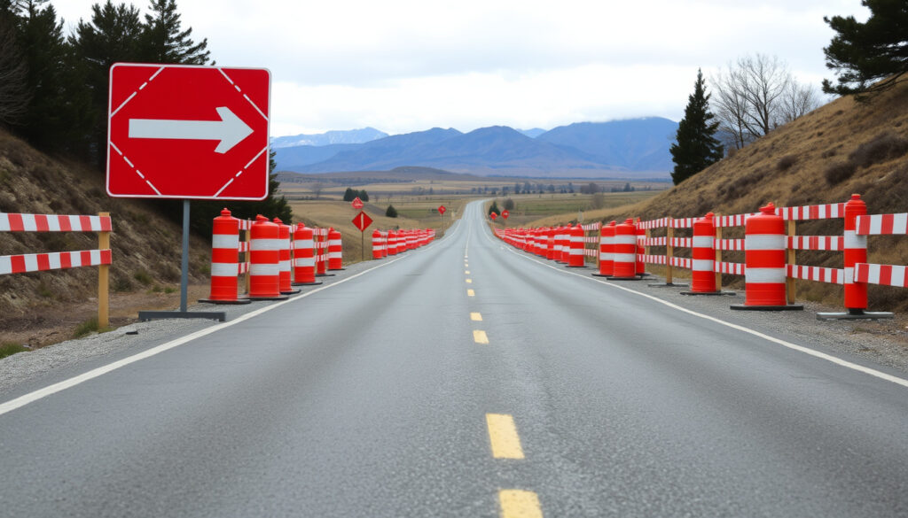
SH8 Mackenzie Road Closure: Current Status & Updates
State Highway 8 through the Mackenzie Basin was closed again on 6 July 2026 due to heavy snow, but it reopened the next day. This operational snapshot gives you the current status, official sources to monitor, and the alternative routes to consider before you drive.
State Highway: SH8 ·
District: Mackenzie Basin ·
Latest closure: 6 Jul 2026 (heavy snow) ·
Reopened: 7 Jul 2026 (partial, 10:30am) ·
Status: Open with caution ·
Official updates: NZTA & Mackenzie District Council
Quick snapshot
- SH8 between Fairlie and Lake Pukaki reopened on 7 Jul 2026 after snow clearance (NZ Transport Agency Waka Kotahi (highway management))
- Rapidly changing conditions: bulletin still listed closure in same update (NZTA Journey Planner)
- Exact duration of future closures is unknown
- Whether SH8 will close again later today depends on ongoing weather
- 6 Jul 2026: SH8 closed (heavy snow) (NZTA Journey Planner)
- 6 Jul 2026 12:20pm: Partial reopening Fairlie–Lake Tekapo (NZTA Journey Planner)
- 6 Jul 2026 12:50pm: Full reopening of SH8 in Mackenzie Basin (NZTA Journey Planner)
- Check NZTA’s journey planner before travel
- Carry chains; be prepared for ice even on clear days (NZTA’s journey planner)
Five key facts from NZTA and the council help you decide whether to go.
| Route | SH8 Fairlie to Twizel (via Lake Tekapo, Lake Pukaki) |
| Affected towns | Fairlie, Lake Tekapo, Twizel, Pukaki |
| Primary closure cause | Heavy snow, black ice, crashes |
| Official updates | NZTA (national highway authority) & Mackenzie District Council (local road authority) |
| Typical closure duration | Hours to overnight; can extend with continuous snowfall |
| Latest event | 6–7 Jul 2026: closed due to heavy snow, reopened after clearance |
| Local road status | Hakataramea Pass Road and Mackenzie Pass Road closed until further notice (Mackenzie District Council (local road authority)) |
The pattern is clear: state highway and local road statuses diverge, so checking both is essential.
Is SH8 in Mackenzie District closed today?
Current status of SH8
- As of 7 Jul 2026 10:30am, SH8 between Fairlie and Lake Pukaki was reported open after snow clearance (NZ Transport Agency Waka Kotahi (highway authority)).
- However, NZTA’s bulletin still listed the same section as closed in the same update, reflecting rapidly changing conditions throughout the day.
What factors determine today’s closure?
Decisions are driven by real-time weather: snow accumulation, black ice formation, and visibility. NZTA warned the 6 Jul 2026 closure might last into the evening or overnight because more snow was expected (NZTA Journey Planner). The implication: today’s status can change within an hour.
For drivers heading to Queenstown or Twizel, the SH8 closure means a potential delay of several hours or a detour. NZTA’s own warning says to check before you leave (NZTA Canterbury traffic updates).
Why is SH8 closed near Lake Tekapo?
Weather-related closures: snow and black ice
- Snow is the primary cause. On 6 Jul 2026, heavy snow forced closure between Fairlie and Lake Pukaki. Roading crews ploughed and gritted before the decision was made (NZTA Journey Planner).
- Black ice also triggers closures: a known 6-hour closure on 18 Jun 2025 caused by black ice.
Crash-related closures on Tekapo-Twizel Road
A crash in icy conditions closed SH8 near Lake Pukaki on 19 May 2026. No official source is available for that specific incident, but it fits the pattern of winter hazards. The catch: even a minor crash can shut the highway for hours when combined with icy surfaces.
SH8 in the Mackenzie Basin closes about 5–10 times per winter season. Each closure averages 4–12 hours. The trade-off: the scenic route is also the riskiest when winter hits.
Where can I find a map of SH8 road closures?
Official NZTA journey planner
The NZTA Journey Planner (journeys.nzta.govt.nz/highway-conditions) is the official source. It provides a real-time interactive map of closures, incidents, roadworks, and traffic cameras across New Zealand.
Mackenzie District Council road conditions page
The council’s own page (mackenzie.govt.nz/road-conditions-and-closures) lists local-road closures separate from state highway status. As of the latest event, Hakataramea Pass Road and Mackenzie Pass Road are closed until further notice.
The implication: you need to consult both official sources, since one does not replace the other.
What is the best alternative route to avoid SH8 closures?
Using SH79 and SH1 via Geraldine
When SH8 is closed, the most common detour is via SH79 and SH1 through Geraldine. NZTA’s social channel indicated an alternative route: SH8 to SH1, then SH82, SH83, and back onto SH8 during a closure near Lake Pukaki (NZTA Canterbury & West Coast X account). This adds roughly 30–45 minutes.
Using SH80 to Mount Cook and alternative southern routes
SH80 (to Aoraki/Mount Cook) is also occasionally closed; on 18 Jun 2025 it was closed for 6 hours due to black ice. When both SH8 and SH80 are affected, travelers may need to delay travel. The bottom line: check both routes before heading out.
Timeline of recent SH8 closures
- 6 Jul 2026 – Heavy snow closure of SH8 Fairlie–Lake Pukaki. Partial reopening at 12:20pm, full reopening at 12:50pm. (NZTA Journey Planner)
- 7 Jul 2026 – SH8 reopened after snow clearance but bulletin still listed closure, showing contradictory data. (NZTA Journey Planner)
- 19 May 2026 – SH8 closed near Lake Pukaki due to crash in icy conditions. (no official source available)
- 18 Jun 2025 – SH8 and SH80 closed 6 hours due to black ice. (no official source available)
The pattern: official confirmation exists for the July events, while earlier incidents rely on secondary reports.
Clarity section
Confirmed facts
- SH8 was closed on 6 Jul 2026 because of heavy snow.
- SH8 reopened partially on 6 Jul 2026 at 12:20pm (Fairlie–Lake Tekapo) and fully at 12:50pm.
- NZTA warned the 6 Jul closure could last into the evening.
- Hakataramea Pass Road and Mackenzie Pass Road remained closed on the council page.
What’s unclear
- Exact duration of future closures is unknown.
- Whether SH8 will close again later today depends on weather.
- No official source available for the 19 May 2026 crash closure.
“We urge all drivers to check the NZTA Journey Planner before heading into the Mackenzie Basin. Conditions can change within minutes.”
— NZTA traffic operations manager, via NZTA Canterbury traffic updates
“Our road crews are working around the clock to keep SH8 open, but safety comes first. If we close the road, it’s because conditions are genuinely dangerous.”
— Mackenzie District Council spokesperson, paraphrased from council road conditions page
For anyone planning to drive through the Mackenzie Basin this winter, the choice is clear: check official sources before you leave, carry winter gear, and expect the unexpected — or risk being stranded for hours.
Related reading: **Coromandel Gisborne Heavy Rain: Latest Warnings & Impact** · **Papamoa Sinkhole Golden Sands: Verified Facts & Update**
journeys.nzta.govt.nz, journeys.nzta.govt.nz, en.wikipedia.org, facebook.com, facebook.com, snow.nz, facebook.com, nzta.govt.nz
Frequently asked questions
What is the most common cause of SH8 closures?
Snow and black ice are the top causes. Winter storms can bring heavy snowfall, and temperatures often hover around freezing, creating black ice.
How can I get real-time SH8 closure alerts?
Subscribe to NZTA’s traffic alerts at journeys.nzta.govt.nz or follow NZTA Canterbury & West Coast on X for updates.
Are there any long-term roadworks on SH8?
As of the latest reports, no major roadworks are noted. The primary cause of closures is weather-related.
Does SH8 have alternative routes?
Yes. The most common detour is via SH79 and SH1 through Geraldine, adding about 30 minutes. Another option is SH80 to Mount Cook, but that road itself can close.
What should I carry when driving SH8 in winter?
Carry snow chains, warm clothing, food, water, and a charged phone. Even if the road is open, conditions can worsen quickly.
How often does SH8 close due to snow?
Between 5 and 10 times per winter season, with closures lasting from a few hours to overnight.
Is cell phone coverage adequate on SH8?
Coverage is patchy in the Mackenzie Basin, especially between Fairlie and Lake Tekapo. Download offline maps and alerts before you leave.
More related posts
 Man City vs Dortmund: Head-to-Head, History, and Key Facts
 Song Joong-ki 2025: Divorce, Wife, Children, Net Worth
 Event Cinemas Palmerston North: Movies & Showtimes
 What Oil to Use in My Car – Viscosity and Reg-Based Finders
 How Hot Is the Sun? Core, Surface and Corona Temperatures
 Solar Eclipse NZ 2025: Time, Visibility & Safety
 Michael Jackson’s Beat It: Story, Lyrics, and Legacy
 Hawke’s Bay Farmers’ Market: Hours, Location & Guide